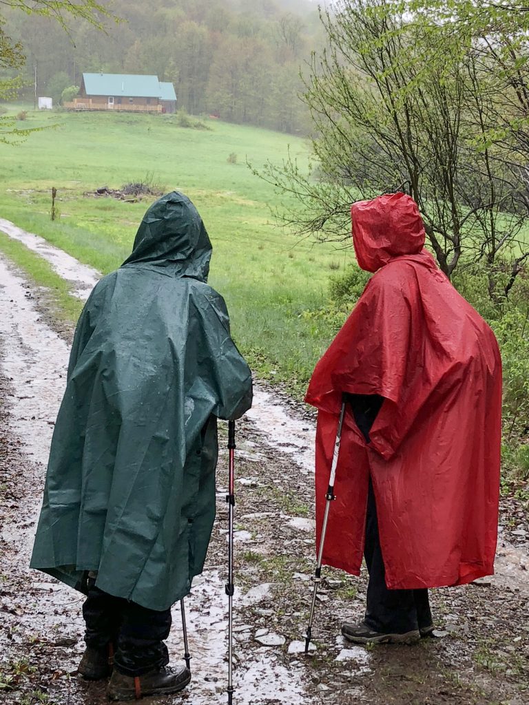
The May hike was cold and raining. The logistics of planning these events make it impossible to schedule rain dates. Two or three buses have been hired. 100 or more hikers have signed up – too many people to re-schedule. So, the hikes go ahead, rain or shine.
The volunteers who plan these group hikes have a challenging task. They must divide the total mileage in that county into six somewhat equal hikes. There must be a meeting place with enough room for lots of cars to park. Then, they must find a trail head that is accessible to the school buses that will ferry the hikers to the starting point. The organizers must also find a suitable location for the SAG, an anagram for Supplies and Gear, borrowed from bicycling trips. For the hikers, it’s a spot about midpoint. It must be accessible by car so volunteers can set up tables for snacks, water and electrolyte mix, along with a bunch of camp chairs. Here, weary hikers can take a break, replenish their water bottles and stock up on food for the second part of the day. Because the hikers have divided into smaller groups based on their hiking paces, they arrive at staggered times.
The planned hike that day was 8 miles long. Somehow, our hike leader missed a turn, and we ended up on the wrong trail, adding an extra mile or so to the hike. When we arrived at the SAG, I decided I was too tired and cold to continue. I might have tried to finish, but it was less than two weeks before a planned trip to France. Afraid that I might slip and fall on the wet, muddy trail and maybe break something and thus ruin my long-planned vacation in Europe, I opted to “sag” out. This is when one of the SAG volunteers gives you a ride back to your car. I would plan a time to finish those last four miles another day.
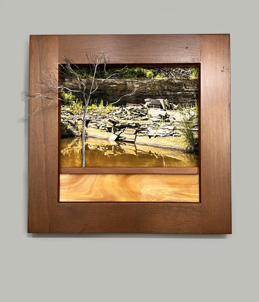
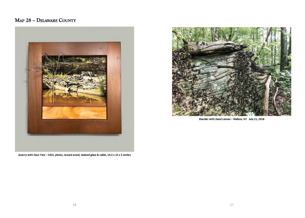
Two months later, in July, I was challenged with the longest hike of the season – twelve miles on Map 28. I am writing this in July of 2025. In my memory, it was wet and rainy that day. But my photos tell a different story. It looks quite pleasant and sunny. It must have been raining for days before the hike because for much of the trail, we were hiking through standing water. The streams were running high and fast, including at Loomis Brook. Here, the volunteer trail maintainers had installed a cable to help us cross the fast-running creek. The water was well over our knees and without that cable, I’m sure many of us would have lost our footing. I heard later that one person did fall. But thankfully, they were not seriously hurt. They just got soaking wet!